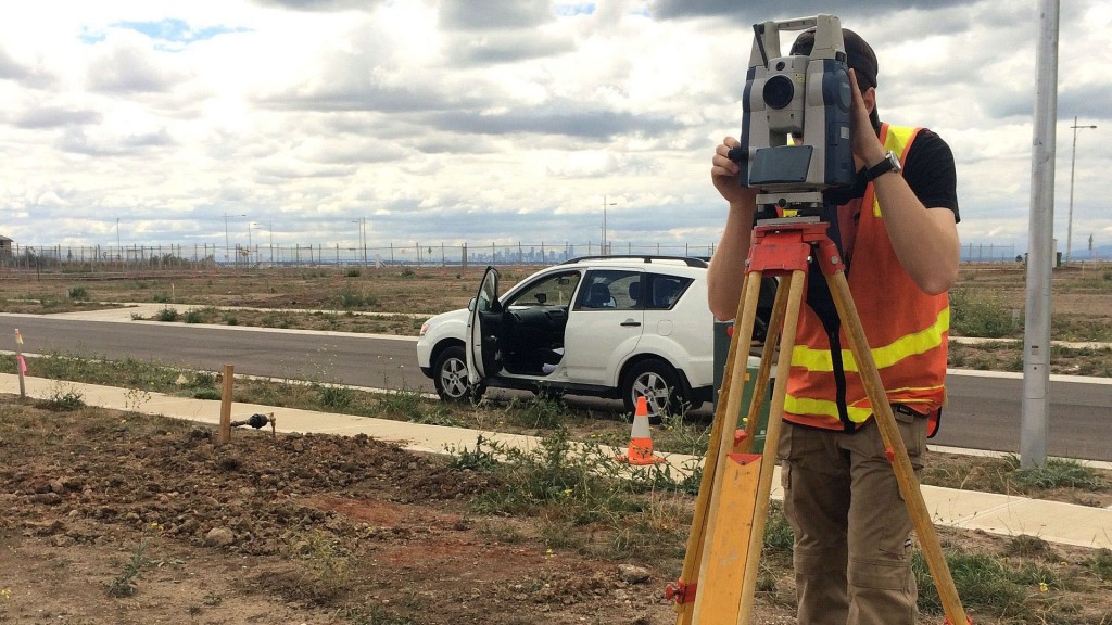
60ha re-establishment and feature survey
This Re-establishment Survey required us to redefine and mark out on the ground the boundaries, which are detailed on the Title Plan attached to the Certificate of Title.
The plan of survey then shows the difference between the title boundary positions and any existing fence or buildings along or near the property boundaries and makes it clear to property owners and neighbours where their boundaries are.
It also gives the legally acceptable position and area in which any new fence, building or structure is permitted to be lawfully erected on or near your boundaries
This was required because the property boundary needed to be redefined.
For more information on the full range of surveying services that we offer, please click here.